Treasure map of the subsurface for the explorers of today
Richer in information, vastly improved, and more visually appealing than ever before. This is the fourth geological map of the Kingdom of the Netherlands, marking 100 years of geological mapping. At 1.40 by 0.80 metres, the map is a real eye-catcher. Even Mount Scenery, the only volcano in our kingdom, is on it.
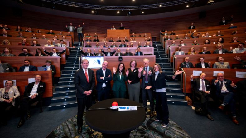
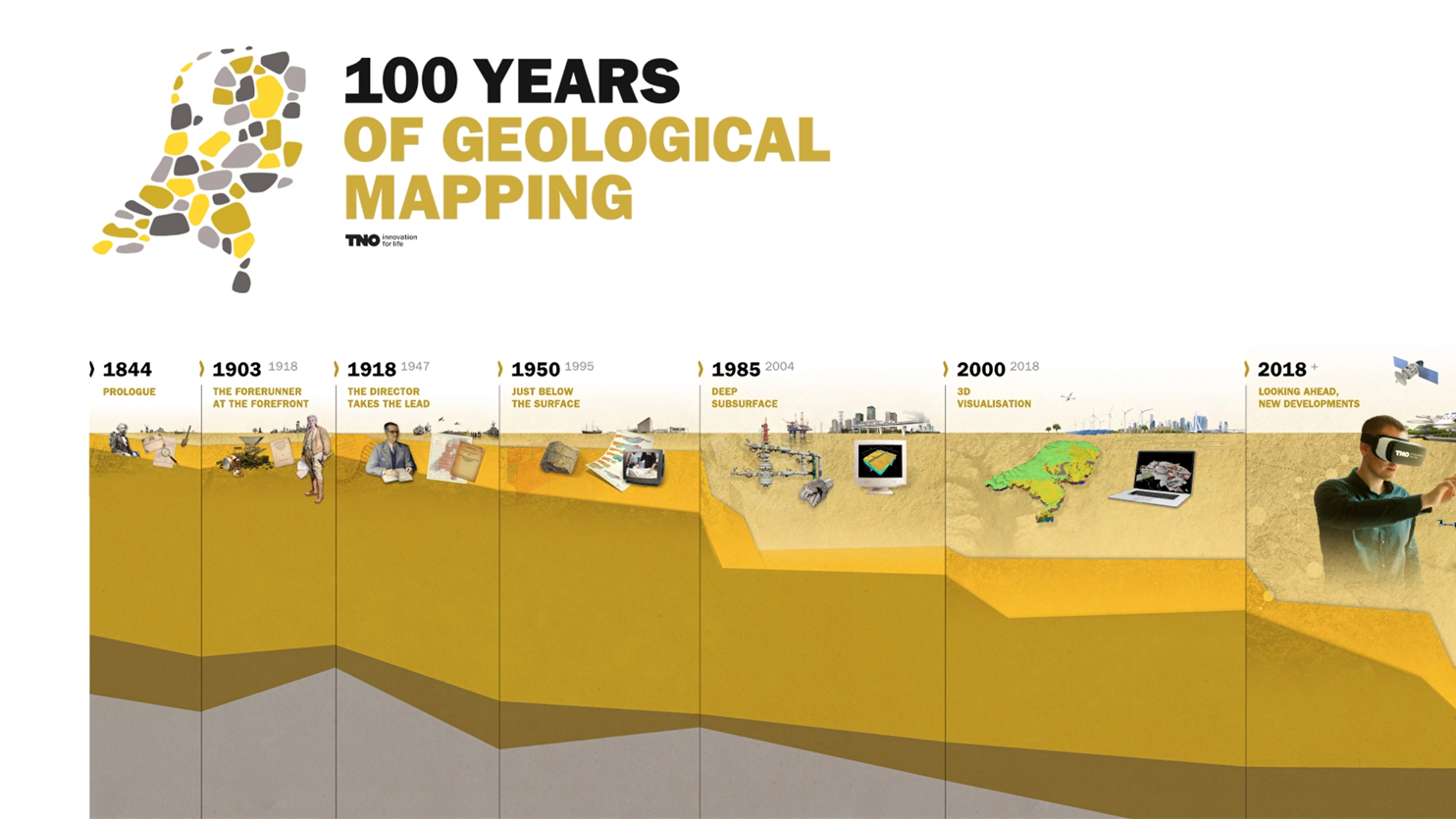
In 2018, the Netherlands celebrated 100 years of geological mapping. This was an important milestone, because knowledge of the subsurface is vital to our future. Consider, for example, societal issues related to energy, fresh groundwater, flooding, drought, subsidence, spatial planning, and raw materials. A dedicated TNO unit, the Geological Survey of the Netherlands (GDN), provides the facts and figures of the world beneath our feet, which remains unknown territory for many. GDN marked the centenary with a brand new geological map of the Kingdom of the Netherlands.
Including the six Dutch islands
‘The map contains a lot of information. Anyone who takes a little time to look at it and examine the key to the symbols will come a long way towards understanding it,' continues Van der Meulen. 'For example, you can identify sand dunes, coastal deposits on peat, and gullies that you can connect to what you know about rivers. The map exposes what is normally hidden from view. It even includes the six islands in the Dutch Caribbean, with a key in both Dutch and English. I’m proud that we managed to bring together so much information on one map. On top of that, it turned out more beautiful than I could have ever imagined.’
Collecting data on a horse
Tirza van Daalen is the director of GDN. ‘In essence, GDN has continued to do the same work over the years. Geology is a cumulative science: you’re constantly reusing what you already know as you add new knowledge and data. However, digitisation and the advent of the Dutch National Key Registry of the Subsurface have definitely sped things up. Where once a man on a horse rode around the Netherlands collecting data, we now automatically receive data from such parties as companies drilling wells, municipalities conducting research for road-building, and so on.’
‘It even includes the six islands in the Dutch Caribbean, with a key in both Dutch and English’
More accurate estimate of safety risks
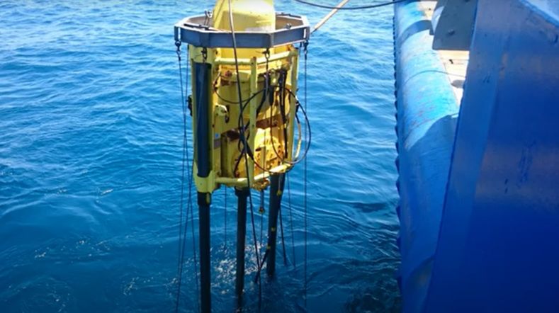
These days, GDN uses drilling data to show depth. Computer models allow the time factor to be taken into account as well. ‘For the last hundred years, we’ve been studying the subsurface because it can cause all sorts of problems,’ says Van Daalen. ‘At the same time, our country has extracted plenty of raw materials from the ground, like in Slochteren. We conducted a lot of research to make this possible. We’ve now used that same data to make a more accurate estimate of the safety risks and the reinforcement operation needed to wind down gas extraction in Groningen.’
In addition, geophysical information collected for gas extraction is now being reprocessed and reused for geothermal exploration. This is important for the energy transition.
Leverage our knowledge of the subsurface
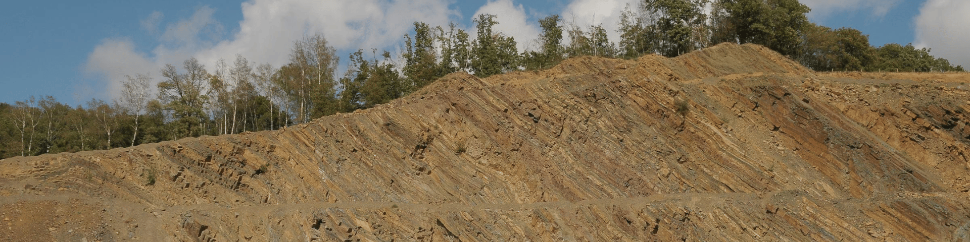
The geological map shows the history of the kingdom so well that you can get lost in it. Van Daalen: ‘We don’t have the Alps, the Pyrenees, or Yellowstone, but we do have a very diverse geology. This makes our work extremely challenging. If you’re faced with a task that involves the subsurface, you could do worse than leverage our knowledge to discover new opportunities.’
Interested in the map?
The map is available on paper or can be viewed online and downloaded as a PDF and GIS file from DINOloket. Visit the website of the Geological Survey of the Netherlands for more information.
Contact us
-

Denise Maljers
Functie:Research manager-
Standplaats:Utrecht
-
Email:Email Denise
-
Get inspired
Geology of the Netherlands: the wealth of knowledge under our feet
How fast did sea levels rise after the last ice age?
TNO presents new edition of 'Geology of the Netherlands'
Hydrology and Reservoir Engineering
Netherlands Materials Observatory (NMO) officially opened