Subsurface in 3D: a new dimension for geodata
An important milestone in the use of 3D geodata: the Geological Survey of the Netherlands, part of TNO, has developed 3D web services on the National Key Registry of the Subsurface. This has been done in cooperation with ESRI, the Kadaster and the Ministry of Housing and Spatial Planning. The first version of the National Key Registry of the Subsurface 3D is now ready for use.
Understanding the subsurface in 3D
It is very important to view the surface and subsurface in context, and 3D visualisation plays an important role in this. Employees of municipalities, provinces, water boards and engineering and consultancy firms working with spatial geo-information can now carry out more easily and insightfully studies. Think of projects on climate resilience, sustainable energy and housing construction.
More accessible information
Loading data and models into a GIS system was always time-consuming in the National Key Registry of the Subsurface, due to the huge amounts of data and the large scale of the models. The visualisations and functionalities required a lot of technical knowledge and expertise. The introduction of the BRO 3D web services makes subsurface information in 3D more accessible.
Integration in GIS system
The new 3D web services of the Subsurface Registry allow users to integrate the subsurface directly into a GIS system. This saves a lot of time and technical operations, making subsurface information more accessible. Users can view the basic version of the 3D web services in a web browser and in GIS software that supports the OGC standard I3S, such as ArcGIS Online. Depending on the application, different functionalities are available.
Work in Progress programme
The development of these 3D web services has been made possible by the government-wide programme ‘Work in Progress’ (WaU programme). This focuses on creating a broader 3D basic facility linked to several basic registries, with this being the ‘underground’ part. By making the first 3D web services available, users can gain practical experience, which is important for further development.
Discover the 3D web services
The subsurface models GeoTOP and REGIS II are now available as 3D web services. Groundwater monitoring wells and geotechnical sounding surveys have also been developed as 3D web services. Visit the National Key Registry of the Subsurface desk to view the 3D web services.
Contact us
-

Rob van der Krogt
Functie:Senior project manager GEO Data & IT-
Standplaats:Utrecht - Princetonlaan
-
Email:Email Rob
-
Get inspired
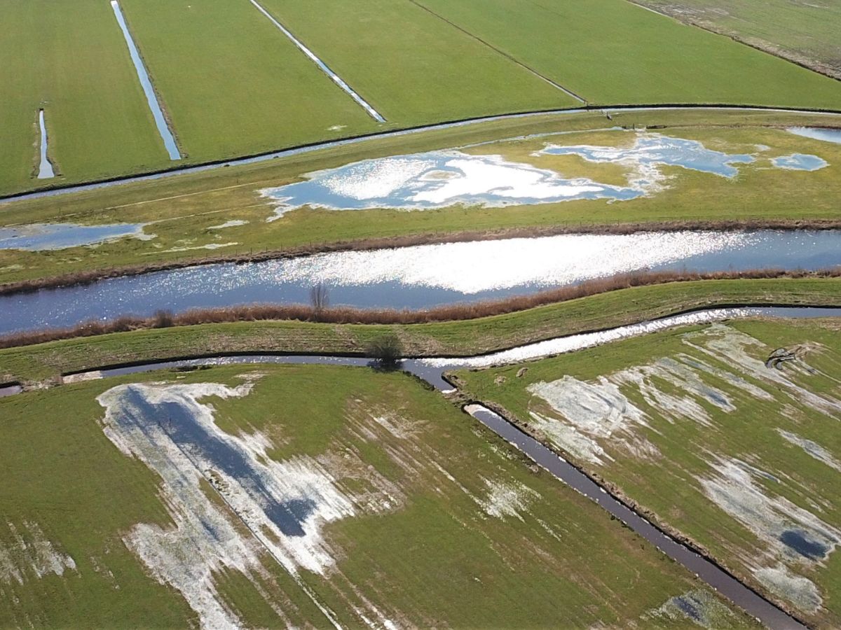
Why groundwater needs stewardship
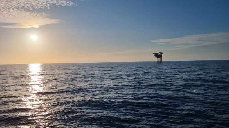
Oil and gas in transition

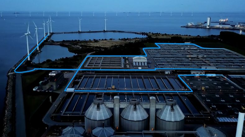
TNO and partners launch project to accelerate longduration energy storage in the Dutch energy system
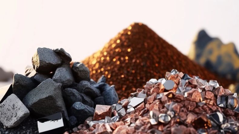
CRM materials and processes
TNO–SodM–NIOZ: ‘Methane emissions in the North Sea often linked to shallow natural gas’