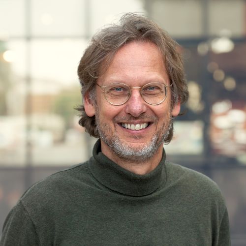
Time setter story: Wilfred Visser
This is the time when innovation is crucial. To make our world safer, lives healthier and combat climate change. TNO employees make their mark on our time. In this series, we share stories of our time setters. Wilfred Visser, a software engineer at TNO Geological Survey of the Netherlands, maps the Dutch subsurface with 300 colleagues. Contrary to what you might think, his work is far from dusty. ‘Geological research extensively uses satellite images, AI, and 3D models, providing vital information for building new houses and the energy transition.’
A wealth of information
‘TNO-GDN is a unique part of TNO, fulfilling a governmental role. We use data to create models of the subsurface, which contain a wealth of information. Is the soil composed of sand, peat, or clay? Engineering firms need this information before constructing houses or neighbourhoods. They turn to us to find out: what is the composition, what support piles do we need, what will it cost?’
‘We also focus on CO2 or heat storage in the subsurface, potentially crucial solutions in the energy transition. Where can this be done safely? How is the subsurface likely to react? We know how to monitor and predict this.’
New insights
‘I lead a group of data scientists. At TNO-GDN, we also develop new ways to monitor the subsurface. We measure temperature or vibrations via fiber optic cables. The exterior of the cable can be used as a series of sensors for temperature and vibrations. The technology already existed; we just apply it differently. Smart reuse of data or techniques can lead to new insights.’
‘This generates so much data… We’re talking terabytes per day. It’s impossible to store it all, so we must analyse it immediately. Algorithms are a tool to detect anomalies. If something different is measured than normal, we want to know.’
'Algorithms are a tool to detect anomalies.'
‘Using satellite images, we can see where in the Netherlands the ground subsides or rises over time. You can see buildings, houses, roads, and even guardrails moving up and down. Often, the cause lies in the subsurface. Our models can help explain this and contribute to a solution.’
From hand-drawn to 3D
‘We are working on a unique 3D model based on 6,000 hand-drawn maps of mining in Limburg. These are incredibly detailed artworks, sometimes over 100 years old. It’s a puzzle to extract the tunnels, mined layers, and their corresponding thickness and depth. AI makes this possible.’
‘Understanding the subsurface is crucial, especially in old mining areas. In 2011, for example, a shopping center in Heerlen subsided due to past mining activities. Some old mines collapsed or were filled with mining debris, others were not. Groundwater flows into these, causing the surface to rise. Our new model, combined with other subsurface data, allows us to map potential risks.’
Sharing knowledge
‘Sharing knowledge is very important to me, so I enjoy giving lectures at universities. There are always people in the audience who inquire about graduation projects or internships. Students who intern at TNO-GDN often become valuable team members.’
Want to become a time setter too? Come work at TNO
Get inspired
CRM materials and processes

TNO–SodM–NIOZ: ‘Methane emissions in the North Sea often linked to shallow natural gas’

Heat

Geothermal energy: sustainable heat from the subsurface

Smarter storage: how TNO optimises thermal energy storage
